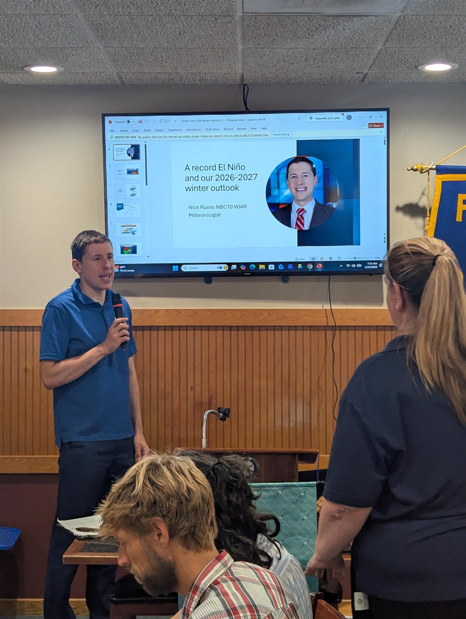
Our guest speaker today was Nick Russo, meteorologist with Channel 10 News, who was invited by our own Valerie Szlateny!
Nick gave us a highly informative and relevant explanation of the El Nino climate pattern along with how and why this year's event proves to be a “Super El Nino”.
He began by explaining that ocean temperatures in the central and eastern Pacific ocean can significantly influence global weather. Normally, trade winds blow from east to west along the equator, bringing warm air from the surface waters off of South America towards Asia. El Nino occurs when these trade winds, weaken or reverse, allowing the warm air to blow in the opposite direction, towards Central and North America. This will typically last for several months, affecting our weather from Summer through Winter. While a typical El Nino is forecasted when those surface temperatures rise by more than 0.5 degrees Celsius, a super El Nino occurs when those temperatures exceed 2.0 degrees. Thus far this year a rise in surface temperature of 3.5 degrees has been recorded which is one of the highest on record!
What this means for our weather patterns is fewer, weaker Atlantic hurricanes but stronger hurricanes in the central/eastern Pacific due to the higher moisture content of warmer air. In the Winter wetter, cooler conditions can be expected along the Atlantic coast with warmer/drier conditions in the central states. While we, in New England can expect more precipitation this Winter, it will likely be in the form of rain rather than snow due to milder temperatures.
There were several great questions from the audience about how climate change might affect these weather extremes and what a typical day at work is like for Nick Russo. He described his preparation for his forecasts as challenging and rewarding and his support staff as being “like a family”.